
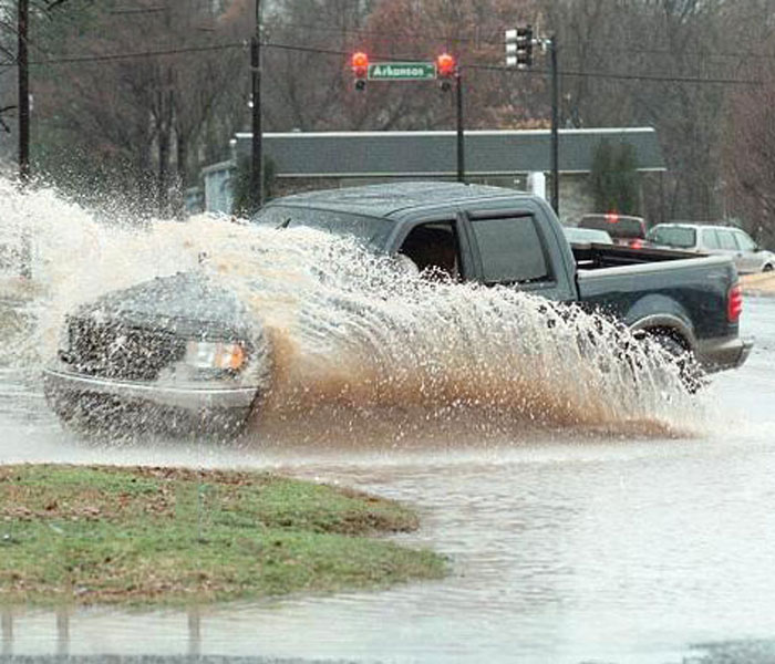
Municipal stormwater systems carry runoff from streets, parking lots, and rooftops through pipes, ditches, and streams. When development outpaces drainage capacity, cities hear more complaints about street flooding, eroded channels, and property damage. A master stormwater plan gives elected officials and public works staff a shared picture of problem areas, regulatory obligations, and realistic improvement schedules.
Why Cities Need a Stormwater Plan
Arkansas communities regulated under Phase II MS4 permits must show progress on six minimum control measures, including public education, illicit discharge detection, and post-construction runoff controls. Even cities outside the MS4 program face pressure when FEMA flood maps are updated or when developers request drainage studies for annexed land.
A written stormwater plan links field observations to capital budgets. It documents culvert conditions, identifies undersized crossings, and ranks projects by flood reduction benefit and construction cost. That record supports grant applications and helps councils explain why one drainage basin moves ahead of another.
Five Steps to Build a Master Drainage Plan
- Inventory existing infrastructure. Field crews should photograph bridges, culverts, and channel crossings and record dimensions in a database. Panoramic photos help staff who were not on site understand blockage or scour problems later.
- Model existing and future conditions. Hydrologic and hydraulic models show where water leaves the channel during 10-, 25-, and 100-year storms. Models should account for planned development shown in the comprehensive plan.
- Screen improvement options. Compare channel widening, detention basins, storm sewer upgrades, and buyout of repetitive-loss structures. Each option needs a rough cost and an estimate of flooded structures removed from the 100-year footprint.
- Update ordinances and design manuals. Draft language for erosion control, detention sizing, and maintenance easements before large projects break ground. See our Water Resources service page for typical ordinance support tasks.
- Prioritize projects for council action. Present a phased capital plan with maps the public can read at a town hall meeting. Tie each phase to measurable flood reduction and available funding sources.
How FTN Supports Municipal Stormwater Projects
FTN Associates, Ltd. has prepared master stormwater plans for Arkansas cities, including a 15-square-mile drainage study for Russellville that inventoried 106 hydraulic structures and produced a draft drainage ordinance. Read the Russellville stormwater plan project summary for details on that work.
Our water resources engineers and Certified Floodplain Managers work with mayors, street departments, and planning commissions from early public meetings through final council packets. When a city is ready to move from planning to design, the same project team can prepare construction drawings and support bid reviews.
Questions about stormwater planning for your community? Contact FTN Associates to discuss scope, schedule, and funding options.